


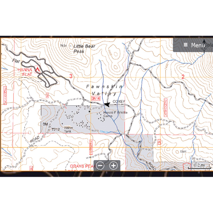
These Forest Service FSTopo maps are available for the Lowrance GPS units on a state by state basis. These maps specifically cover Forest service land and do not include BLM, states parks or land managing by any other organization.
This Rugged Routes maps provides OHV enthusiasts with US Forest Service FSTopo Maps. This is the forest service primary base map series in a 1:2400 scale. FSTopo products cover the US Forest Service lands on a state by state basis for the state indicated on the front cover of the GPS package.


Source: Ruggedroutes.com


